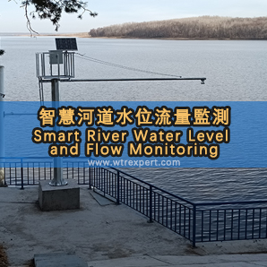
Solution for River Water Level and Flow Monitoring
The online monitoring system for rivers and lakes is mainly used to monitor the operation of river water conservancy. Through various sensors, video images and other digital information, the data is uploaded to the monitoring center through wireless or wired transmission channels. The data of each monitoring station can be displayed in real time on the large screen of the monitoring center, which facilitates the command center to timely monitor the on-site situation and dispatch various resources. The establishment of a real-time monitoring system for online flow stations is also due to the development of national industry, the increasing scarcity of water resources, the reduction of water sources, and the worsening of pollution. The importance of monitoring the flow of all rivers is becoming increasingly prominent. The river flow station adopts a fully automatic real-time flow monitoring method, which transmits water level and flow data to the monitoring station through wireless or wired transmission.
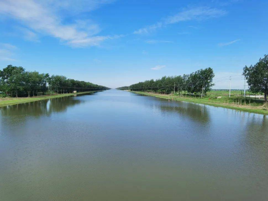
Real time collection of flow velocity, water level and other information in rivers, and calculation of flow information through cross-sectional data, which is stored in a database, has strong real-time performance and high processing efficiency. The transmission and processing of information should follow standardized protocols to ensure the integrity of the information. The collection equipment and collection methods should adopt unified standards and models as much as possible, in order to establish an open, standardized, scalable, easy to manage, and real-time upgraded database system. The system has transaction log function and can operate normally in various weather environments, ensuring smooth collection and transmission channels.
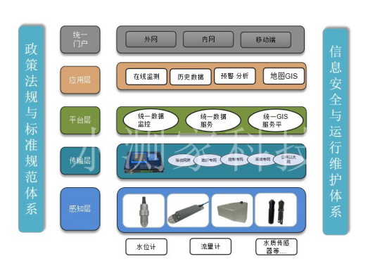
Functions of the monitoring system:
1. 24-hour online monitoring of cross-sectional flow velocity, water level, water temperature, and flow rate
2. Able to calculate cross-sectional flow rate based on real-time collected flow velocity and water level
3. Capable of collecting, calculating, storing, and transmitting water volume data
4. Transmit the collected water level, flow rate, flow rate, and station status information to the receiving center through the network
5. The average flow velocity relationship line of the cross-section can be manually set and modified
On site case:
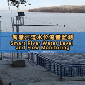
Natural river water level monitoring station (water level gauge with corresponding range selected based on customer site)
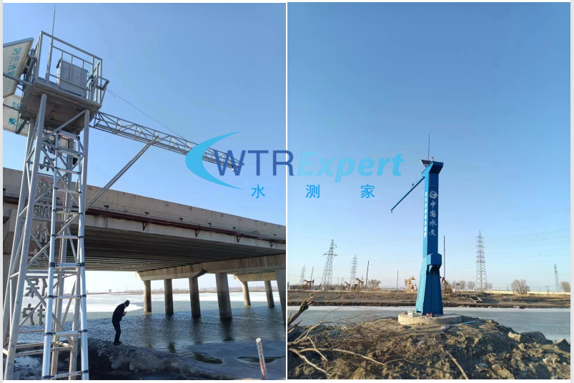
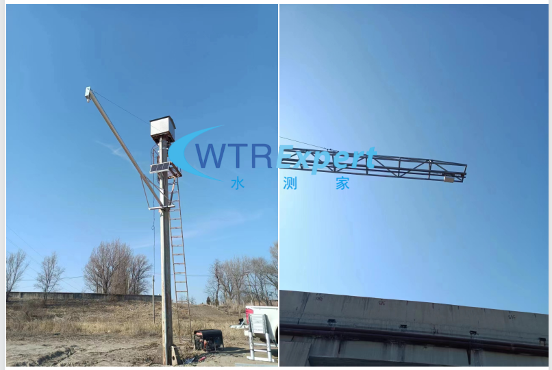
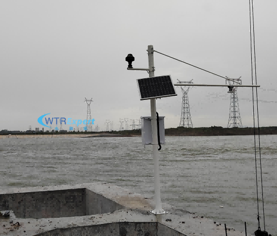
The site is a natural river with a lot of silt at the bottom, which can be monitored using non-contact radar flow measurement equipment;
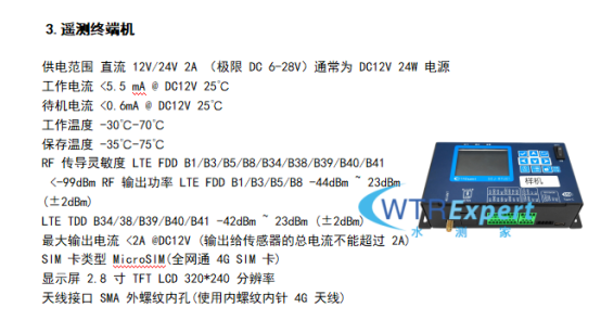
Establish a shore station equipped with a solar power supply system, collect, process and calculate data through telemetry terminals, and wirelessly transmit it to the monitoring center. It can also be installed on bridges. If the on-site signal is poor, fiber optic wired transmission and external Beidou module can also be used for Beidou short message communication.
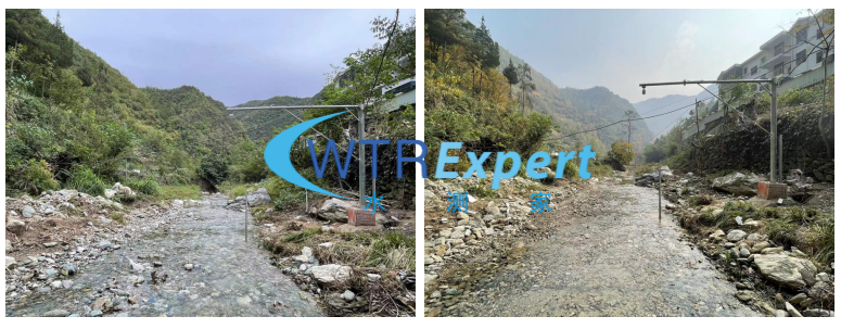
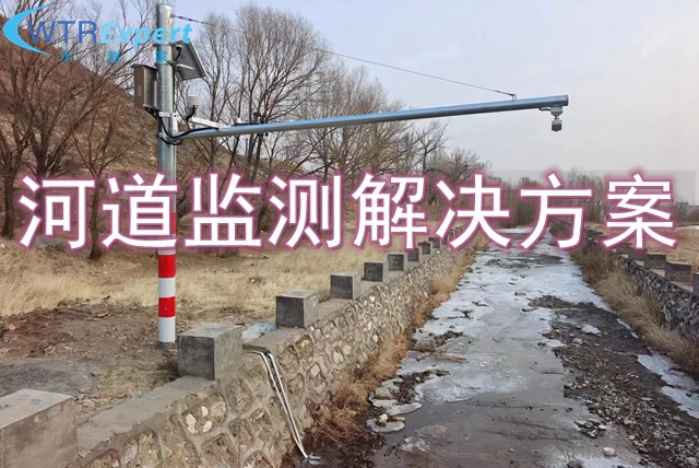
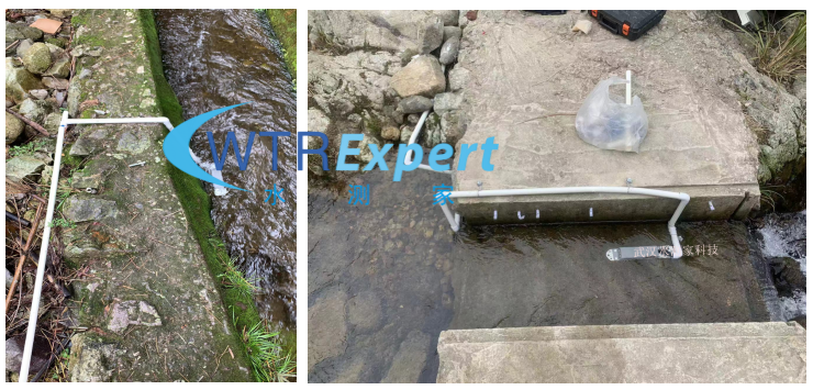
On site channels that have been manually repaired have hardened treatment at the bottom. When the water depth is insufficient, Doppler ultrasonic flow meters can be used to measure the flow;
A water depth of 5cm or more is sufficient. The equipment is installed in the water, and the flow velocity and water level can be measured by the probe when the water passes through. The flow data can be calculated based on the cross-section.
主要设备参数:


